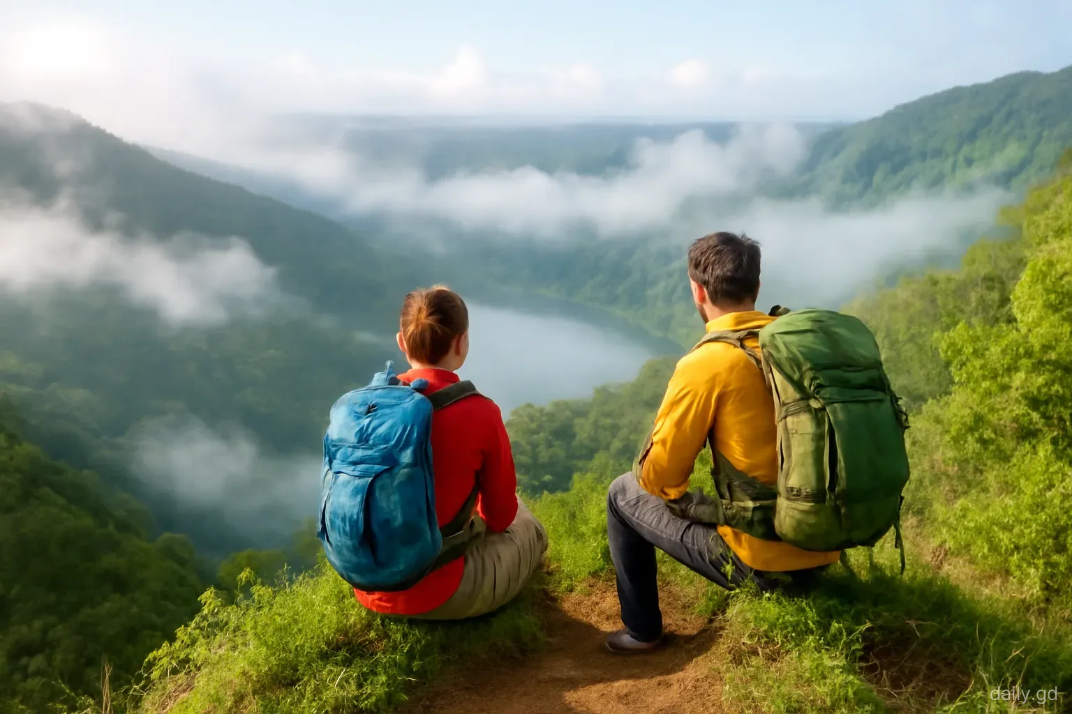
Grenada's interior is steep, green and wet, and a good part of it is only reachable on foot. For residents, that makes hiking one of the best weekend uses of the island: a two-hour stroll around a crater lake, a morning splashing up a river to a waterfall, or a long, muddy climb to the highest summit in the country. Most trails are within an hour's drive of St George's.
The six hikes below are ordered from easiest to hardest. Each description covers what the walk involves, how long to allow, whether you need a guide and the mistakes people make. Trail conditions change after storms and heavy rain, and some routes cross private land where small fees apply, so check locally before setting out, particularly in the rainy season.
1. Grand Etang Lake shoreline: easy
Grand Etang Lake sits in an old volcanic crater high in the central mountains, inside the Grand Etang National Park and Forest Reserve on the road between St George's and Grenville. A shoreline trail loops around the lake through forest, with views across the water and a good chance of seeing birds and, with luck, mona monkeys near the visitor centre. Allow around one and a half to two hours at a gentle pace.
The path is mostly level but can be muddy and slippery, with roots and the odd stream. Trainers with grip are enough in dry weather; in wet weather boots are better. The altitude makes it noticeably cooler than the coast, and rain showers are frequent even when the south is sunny, so carry a light rain jacket.
A small entrance fee is collected at the visitor centre for some visitors; Grenadian residents should ask what applies to them. This is the best first hike for newcomers and for families with older children.
2. Concord Falls and Fountainbleu: easy to moderate
In St John's, a winding road from the west coast leads up the Concord valley to the first Concord waterfall, which is right beside the road and needs no hiking at all. Above it, a trail follows the river upstream through forest and farmland to the higher Fountainbleu falls, a more dramatic drop into a deep pool. Allow two to three hours for the return trip from the first falls.
The trail involves several river crossings, so expect wet feet and wear shoes that grip on wet rock. After heavy rain the crossings can become dangerous; turn back if the water is high or fast. Local guides often wait near the first falls and can make the route easier to follow; agree a price before you start.
The swim at the top is the reward, but the pool is deep and cold. Children should be strong swimmers or stay at the edge.
3. Levera coastline: moderate
At the northern tip of the island, in St Patrick's, the Levera area combines a wide Atlantic beach, a mangrove-fringed pond and rugged coastline with views north towards the Grenadines. Walking the coast from Levera towards Bathway or along the headlands gives an open, breezy hike quite unlike the rainforest trails.
The challenge here is sun and wind rather than mud. There is little shade on the exposed sections, so start early, carry plenty of water and wear a hat. The Atlantic surf is powerful, and the beach at Levera is not a safe swimming beach; many hikers finish with a dip in the calmer reef-protected pool at Bathway instead.
The north of Grenada took damage from Hurricane Beryl in July 2024, so check trail and access conditions locally before going. Between roughly March and August, parts of the beach may be used by nesting leatherback turtles, and access rules can apply at night.
4. Seven Sisters Falls: moderate
The Seven Sisters, also called St Margaret's Falls, are a series of cascades in the rainforest east of Grand Etang. The usual approach starts from the main road across the island, passes through private farmland where a small access fee is collected, and drops steeply through forest to the lower falls. Allow around two to three hours for the round trip, longer if you continue to the upper falls.
The trail is often very muddy, with steep sections where you may need to use roots and branches for support. Locals sometimes offer walking sticks at the start for a small charge, and they are worth taking. A guide is strongly recommended for the upper falls, where the route is less obvious and involves scrambling.
Heavy rain makes the descent treacherous and the falls powerful. In the rainy season, aim for a morning after a dry spell.
5. Mount Qua Qua: hard
Mount Qua Qua is one of the peaks rising above Grand Etang, reached by a trail from the visitor centre area along a narrow, forested ridge. On a clear day, the top gives views over the interior and towards both coasts; on many days, the summit is in cloud. Allow around three to four hours for the return trip.
The ridge section is narrow, with steep drops on both sides, and the final climb can be a slippery scramble. It is not suitable for people uncomfortable with heights or for young children. The trail can be overgrown after storms, and fallen trees occasionally block it, so ask at the visitor centre about current conditions or go with a guide.
Start early, carry water and a rain jacket, and turn back if the weather closes in; mud on a narrow ridge in cloud is the main hazard.
6. Mount St Catherine: hardest
At about 840 metres, Mount St Catherine is the highest point in Grenada, an old volcanic peak in the north of the island. Routes to the summit are not well marked, pass through farmland and dense forest, and change with land use and storm damage, so almost everyone goes with a local guide. Allow most of a day.
The climb is steep, wet and demanding, often through thick vegetation and deep mud, and the summit may offer nothing but cloud. The appeal is the challenge, the forest and the sense of having stood on the roof of the country. Good fitness, sturdy boots, plenty of water and food, and a rain layer are essential.
Arrange the guide in advance, through hiking groups, tour operators or recommendations from residents who have done it, and agree the route, timing and price.
Getting to the trailheads
Most residents drive to trailheads, but several hikes are reachable by route bus. Buses on the route across the island between St George's and Grenville pass Grand Etang and the turn-off for the Seven Sisters, and conductors will stop if you tell them where you are going. West coast buses towards Gouyave pass the Concord turning, although the walk up the valley road to the first falls adds time. Levera and Mount St Catherine are much easier with a car or a guide who provides transport.
If you take the bus, check the time of the last return service and leave a margin, because hikes often take longer than planned and buses on the cross-island route thin out in the late afternoon and on Sundays. Hitching a lift is common in rural Grenada, but it is not something to rely on at dusk.
Parking at trailheads is informal. Leave nothing visible in the car, and if someone offers to watch it for a small tip, that is a normal local arrangement.
What every hiker should pack and know
Footwear with grip. Mud is the defining feature of Grenadian trails. Smooth soles cause most falls.
Water and snacks. Carry more water than you think; humidity drains you quickly.
Rain layer. The interior can be wet any month.
Season. The dry season, roughly January to May, gives the best conditions. In the rainy season, especially September to November, trails are muddier and rivers more dangerous.
Tell someone. Let a friend know your route and expected return time, and carry a charged phone. Mobile coverage is patchy in deep valleys and on the far side of ridges. In an emergency call 911.
Leave nothing behind. Take all rubbish out, stay on the path and do not pick plants or disturb wildlife, particularly in the national park.
Guides. For less obvious trails, a local guide is worth the fee for safety, route-finding and knowledge of plants and history.
Frequently asked questions
What is the easiest hike in Grenada?
The Grand Etang Lake shoreline trail is one of the easiest, taking around one and a half to two hours on mostly level ground. It can still be muddy, so wear shoes with grip. The first Concord waterfall can be reached with almost no walking.
Do you need a guide to hike in Grenada?
Not for easy, well-used trails like the Grand Etang lake shore. For Mount St Catherine, the upper Seven Sisters falls and other less obvious routes, a local guide is strongly recommended for route-finding and safety. Agree the price and route before setting off.
When is the best time to hike in Grenada?
The dry season from roughly January to May offers the firmest trails and safest river crossings. Hiking is possible in the rainy season, but expect deep mud and avoid river trails after heavy rain. Early mornings are cooler and often clearer.
What is the highest mountain in Grenada?
Mount St Catherine, at about 840 metres, is the highest point in Grenada. It is a former volcano in the north of the island. The climb is long, steep and muddy, and most hikers go with a local guide.
Are there fees for hiking in Grenada?
Some trails have small fees, such as the Grand Etang visitor centre entrance for some visitors and access charges where trails cross private land, as at Seven Sisters. Guides charge separately. Amounts change, so bring EC cash and ask locally.